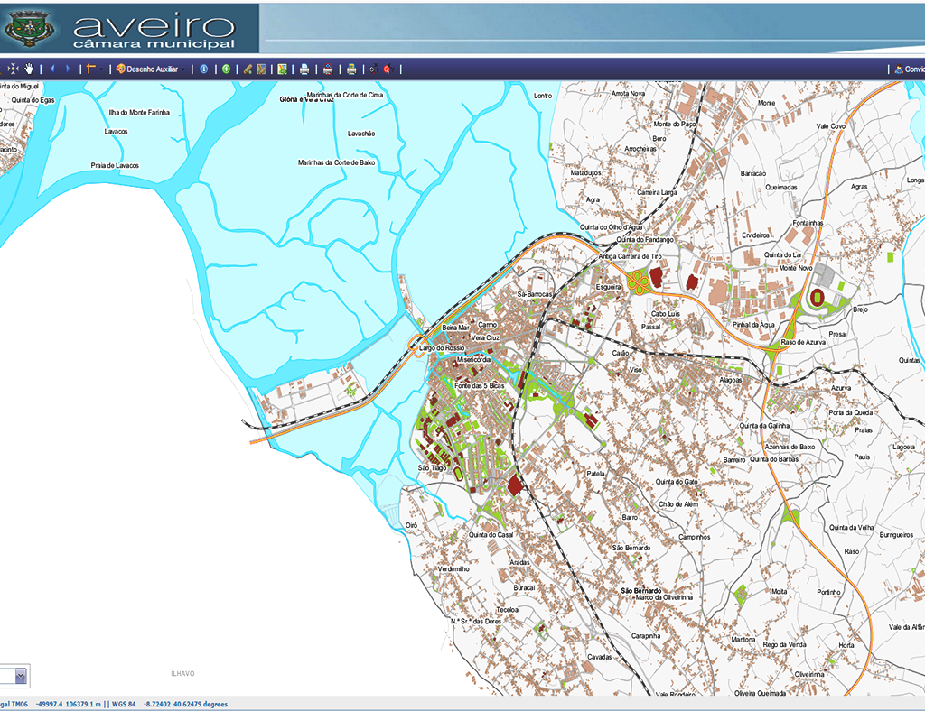
Implementation of a Spatial Data Infrastructure and WebGIS Applications
Category
Public AdministrationAbout This Project
About the Project:
Scope: Municipal Management
Location: Aveiro
Characteristics: Installation of open source software architecture; data transformation between different reference systems (HGD73 for ETRS89 PT TM-06); definition of the system architecture; import of Geographic Information into PostgreSQL / PostGIS according to the INSPIRE directive; implementation of the data model (defining the source of information, the flow of data between services, data loading, data processing, and other tasks related to the implementation of the data model); Organization of Geographic Information, definition of database users and access policies; configuration in Geo server (data sets, groups, coordinate systems and styles); optimization of image visualization (creation of pyramids); development of WebGIS applications (Backoffice and application publishing); Geo network configuration and metadata loading according to standards; installation and configuration of Geoportal and WebGIS applications.


